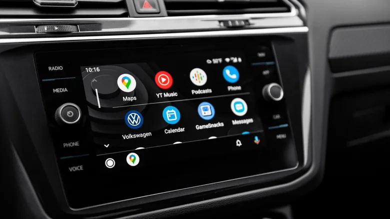
Google Maps is making a small but potentially useful change for drivers, with new pop-up alerts designed to make upcoming traffic lights and stop signs more noticeable during navigation. Google is continuing to expand Google Maps and Android Auto with new navigation features aimed at making driving directions more informative and easier to follow.
The latest change brings more prominent intersection alerts to drivers. Instead of relying solely on traffic-signal and stop-sign information displayed on the map, Google Maps can now show a pop-up notification as a driver approaches a relevant intersection.
The feature has been observed in Android Auto and can alert drivers to upcoming traffic lights and stop signs. The change is relatively minor, but it could be particularly useful when navigating unfamiliar roads where drivers may not immediately notice an approaching intersection.
Google Maps has displayed traffic-signal information on its maps for several years. Similar intersection information is also available in competing navigation services, including Apple Maps, while Waze has been expanding comparable functionality.
A more visible approach to navigation
The key difference with the latest Google Maps update is visibility.
Previously, information about traffic lights and stop signs could appear as part of the map itself. The new approach brings the information into a more noticeable pop-up as drivers approach an intersection.
For people using Android Auto, the additional warning could make it easier to anticipate a stop or turn without having to rely entirely on the visual details of the road or map.
The feature could also be useful during long-distance journeys, particularly when drivers are travelling through unfamiliar towns and cities.
Google has not provided a definitive timeline for when the feature will reach every user. Because some Google Maps features are activated through server-side updates, availability can vary between users and regions.
The functionality has also been observed on smartphones running Google Maps, suggesting that it may not remain limited to Android Auto.
Google Maps is becoming more AI-driven
The intersection alerts are only one part of Google’s broader plans for Maps in 2026.
The company has been introducing more artificial intelligence into the navigation experience, including Gemini-powered features designed to make interactions with Maps more conversational.
Google is also expanding visual navigation tools. Among the developments are more detailed 3D route visualisations, improved route information and navigation features designed to help users better understand their surroundings before and during a journey.
The company has also highlighted improvements to voice guidance, with directions intended to sound more natural while providing more specific information about upcoming manoeuvres.
Another area receiving attention is Street View. Google is using the feature to provide additional information about destinations before users arrive, while also improving information that can help drivers identify parking options near their destination.
More information about alternative routes
Google Maps is also becoming more transparent about why it recommends one route over another.
When an alternative route is presented, users can receive more context about the trade-offs involved. For example, a route may be faster because it uses toll roads, while another option could take longer because of traffic conditions.
This gives drivers additional information when deciding whether saving time is worth taking a particular route or paying a toll.
For commuters and regular drivers, such information can be useful because the fastest route is not always the preferred route.
Android Auto is also getting a major redesign
Google’s navigation improvements are arriving alongside a broader Android Auto update.
The company is preparing a redesigned Android Auto experience based on its Material 3 design language. The update is expected to introduce a refreshed interface, new widgets and additional functionality.
Google is also expanding the types of applications that can be accessed through Android Auto, including video applications in supported circumstances.
The broader redesign reflects the growing role of the vehicle’s infotainment system as an extension of the smartphone experience.
For drivers, however, the effectiveness of these features will ultimately depend on how much information can be presented without creating unnecessary distraction.
Google Maps and Waze continue to evolve differently
Google’s continued investment in Maps also highlights the different approaches taken by Google Maps and Waze, despite both services being owned by Google.
Waze has historically focused heavily on real-time, crowdsourced information, allowing drivers to report traffic, road hazards, police activity and other incidents.
That approach can provide highly localised information, but it also depends heavily on the quantity and accuracy of reports from other users.
Some Waze users have raised concerns about frequent rerouting, excessive alerts and routes that send drivers through smaller roads or neighbourhoods in an attempt to save time.
Waze has introduced features intended to address some of these concerns, including Personalized Navigation, which can take a driver’s preferred routes and driving history into account when generating directions.
The service also offers a Less Chatty setting that reduces the frequency and length of spoken instructions and certain alerts.
Google Maps, meanwhile, combines Google’s mapping infrastructure with traffic information, user reports and offline map functionality.
Offline navigation remains an important difference
One notable distinction is offline navigation.
Google Maps allows users to download maps for selected areas and use them for navigation when an internet connection is unavailable, subject to the limitations of offline maps.
Waze relies more heavily on an active data connection for its routing and real-time information. Losing connectivity can therefore affect its ability to recalculate routes or provide new live reports.
For drivers travelling through areas with inconsistent mobile coverage, offline navigation can be an important consideration.
What the changes mean for drivers
Google’s latest Maps updates are not centred on one dramatic new feature. Instead, the company is gradually adding more information to different stages of the driving experience.
Intersection alerts can make upcoming stops and traffic signals more noticeable. More detailed alternative-route information can help drivers understand why Maps recommends a particular road. AI-powered navigation and improved visualisation are designed to make route planning more conversational and easier to understand.
At the same time, Android Auto is evolving beyond a simple way of displaying smartphone navigation on a vehicle screen.
As these features roll out, availability will vary by device, region, software version and Google’s server-side deployment schedule.
For drivers, the larger trend is clear: navigation applications are increasingly combining traditional maps and traffic data with artificial intelligence, real-time user information and richer visual guidance.
The result is a navigation experience that is becoming more informative—but the challenge for technology companies will be ensuring that additional information helps drivers rather than becoming another source of distraction on the road.